
— Service
Mapping & Inspection
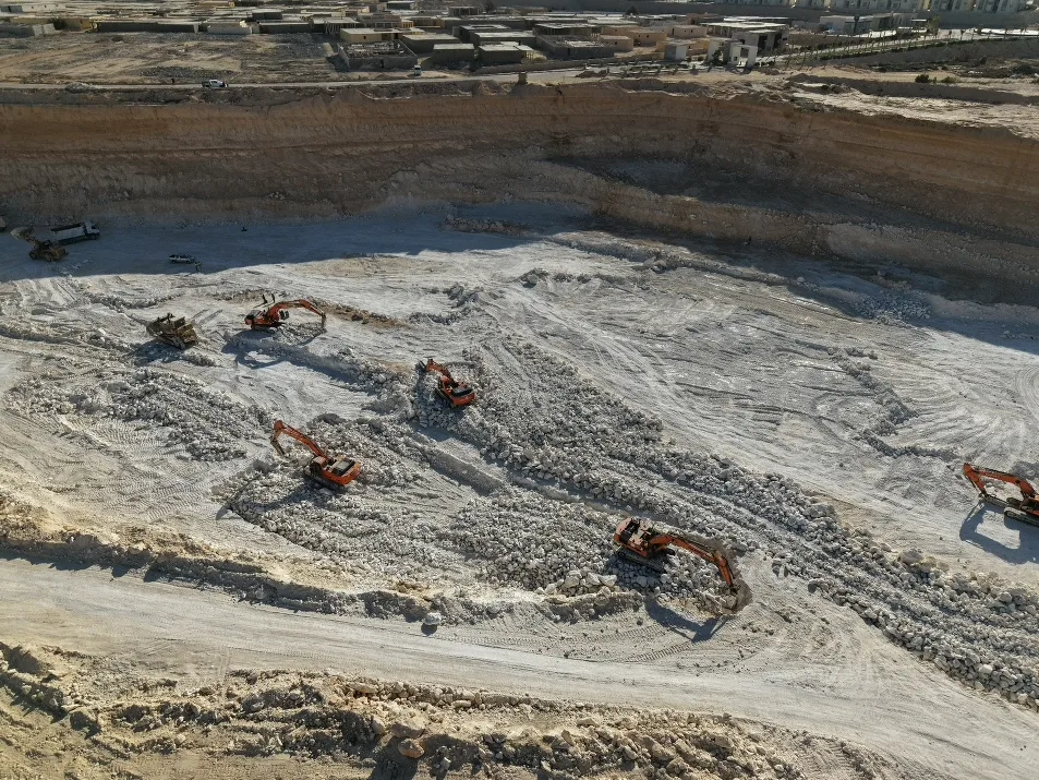
Photogrammetry, orthomosaics and 3D site models alongside high-resolution inspection imagery for infrastructure and assets.
Developer Portal — deliverables and inspection archive
Mapping and inspection outputs are delivered through the Open Gate Films Developer Portal, a private workspace at portal.opengatefilms.ae where your engineering and asset teams access every dataset we produce.
What lives in the portal
- Orthomosaics and site maps — high-resolution georeferenced imagery per survey date.
- Inspection media — close-range stills and video of façades, roofs, towers, solar arrays and infrastructure, tagged by asset and location.
- 3D models and point clouds — photogrammetry deliverables ready for download and import into your own tools.
- Dated survey history — every flight archived so you can compare conditions over time and track defects.
- Inspection reports (PDF) — findings and annotated imagery in one shareable file.
- Controlled access — role-based logins for your team, restricted to approved company email domains.
Large datasets are handled natively: multi-gigabyte surveys upload and download reliably, and can be served from your own cloud bucket when required.