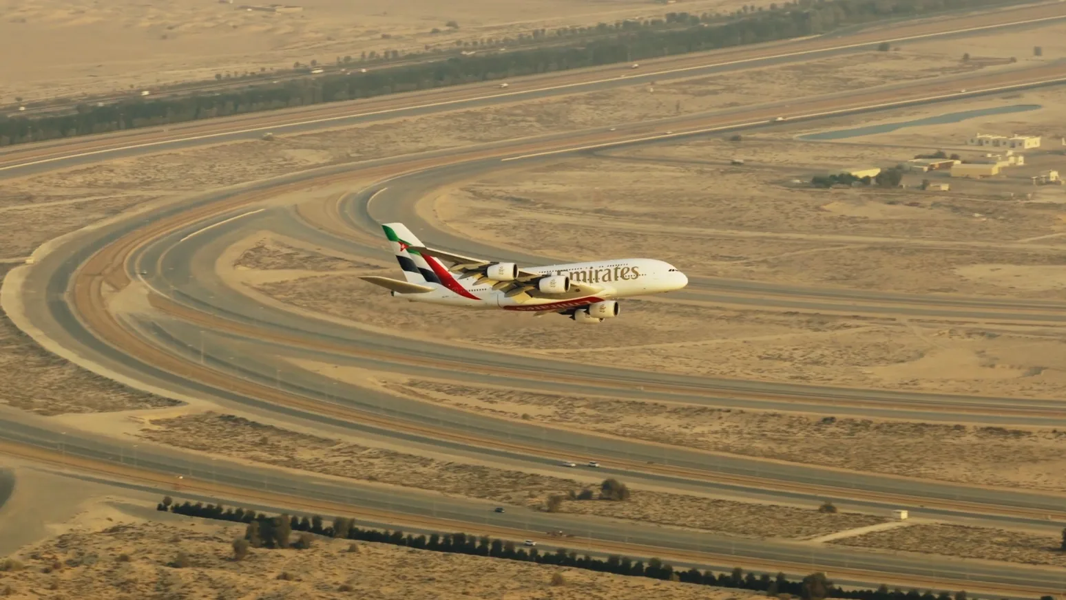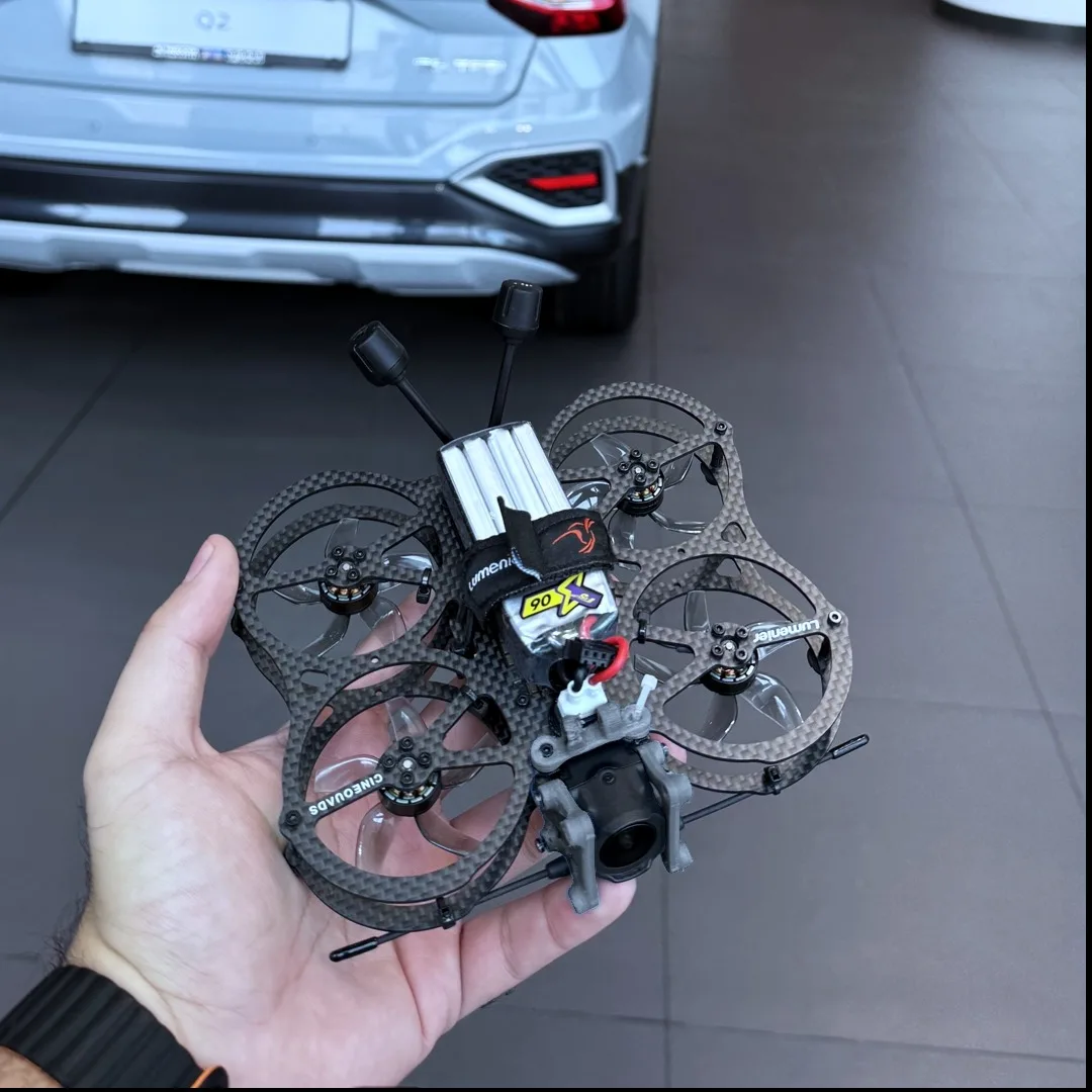

Agriculture & Field Inspection
Multispectral and visual drone surveys for farms and irrigation — crop health, field mapping and asset monitoring.
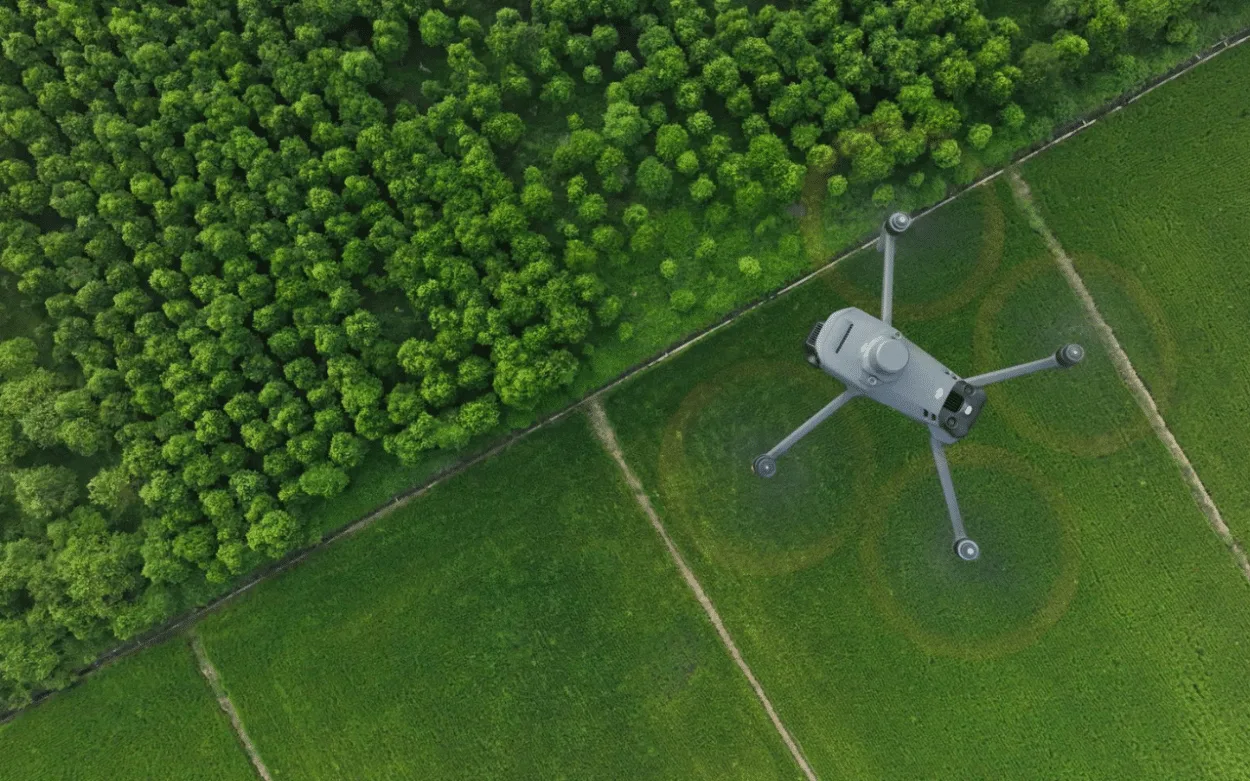
Aerial surveys that make field conditions easier to review.
For farms, irrigation systems and field assets, aerial capture can provide a repeatable visual record across a large area. Open Gate Films plans visual and multispectral surveys around the operational question: crop condition, irrigation, field coverage, access or asset monitoring.
A repeatable survey approach
A useful field survey starts with the area boundary, the crops or assets to review, the required outputs and the comparison period. Repeatable flight planning helps keep subsequent captures comparable, so teams can review change over time instead of relying on one isolated image.
Visual and multispectral capture
Visual aerial imagery provides a clear record of field layout, access routes, irrigation infrastructure and visible conditions. Where the brief calls for it, multispectral capture can support crop-health and irrigation reviews alongside the visual record.
Practical deliverables
Deliverables are agreed before flight and can include organised aerial stills, mapped visual outputs, comparison captures and high-resolution imagery for the client’s agronomy, operations or asset-management team. We confirm the format and workflow around the systems your team already uses.