
Construction Progress Monitoring by Drone in Dubai: How It Actually Works
A practical guide to scheduled aerial progress documentation for UAE developments — capture plan, deliverables, permits, and how updates reach your team.
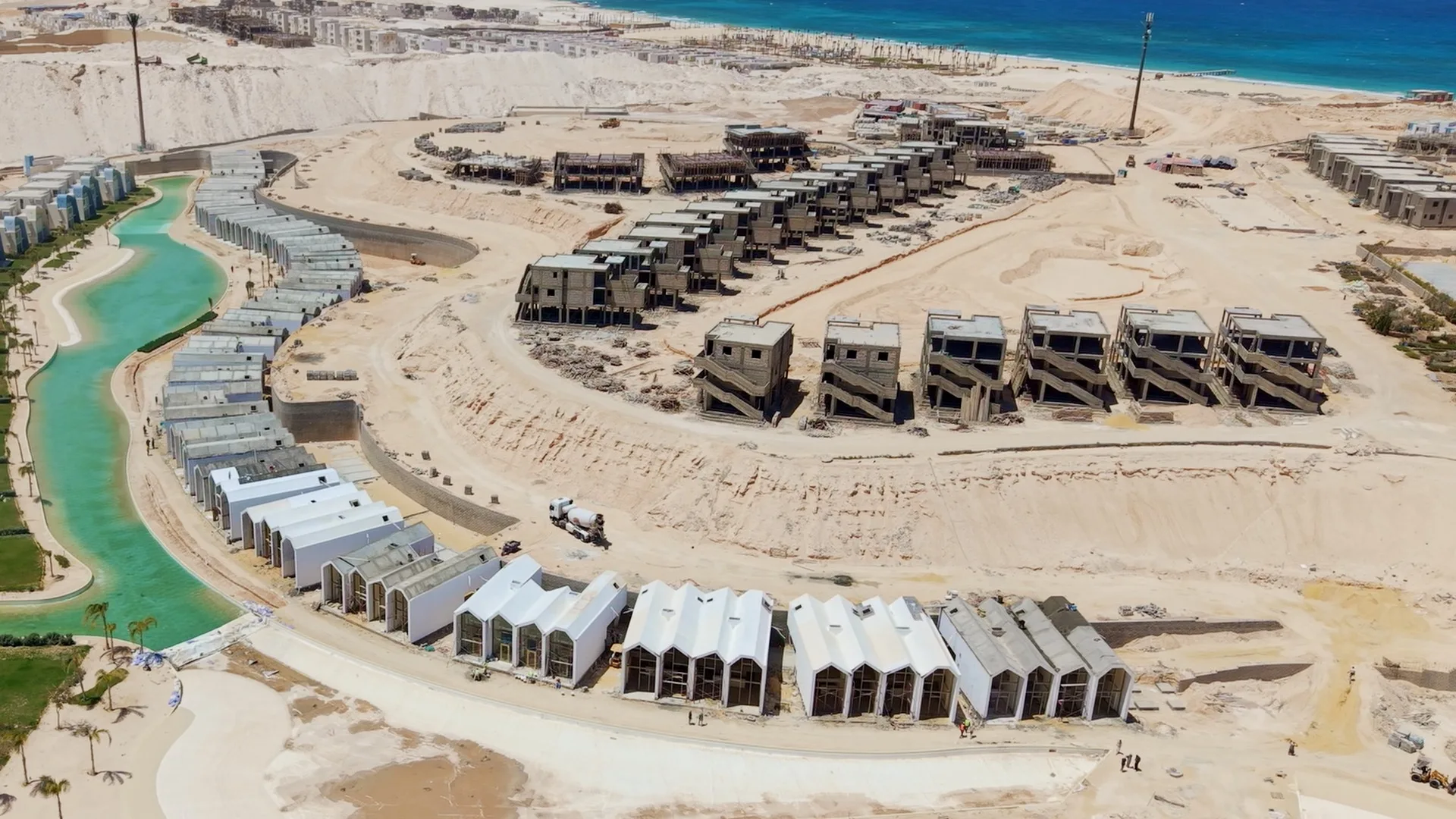
On a live development, the question is rarely "how does it look?" — it is "is it where the programme says it should be?" Photographs taken from the ground answer that badly. A drone flown to the same plan every month answers it in about forty minutes.
This is how we run construction progress documentation for developers, contractors and consultants in Dubai and across the UAE.
The capture plan comes first
Before the first flight we agree a capture plan with your project team, and then we repeat it exactly. It usually contains:
- Fixed camera positions. The same GPS points, altitudes and headings every visit, so two months can be compared frame to frame with no visual noise.
- A nadir grid. Overlapping vertical images across the site boundary, used to build the orthomosaic and 3D model.
- Obliques. Four to eight angled passes for elevations, façade progress and structure.
- Detail sets. Whatever the programme is chasing that month — a core, a podium slab, a façade panel run, MEP risers, the site logistics layout.
- A video walk-around. One continuous orbit and one approach, for the monthly board pack.
Repeatability is the whole product. A one-off flight is a photograph. A repeated flight is a record.
What you receive
- High-resolution stills, organised by position and date.
- An orthomosaic (a flat, to-scale aerial plan of the site) for each visit.
- A 3D model of the site for visual measurement and stakeholder review.
- Side-by-side comparisons between the current and previous visit.
- Graded video for internal reporting or investor updates.
- A cumulative timelapse that grows over the life of the project.
How updates reach your team
Everything is delivered through the Open Gate Films Developer Portal — a private, per-development workspace rather than a WeTransfer link that expires. Each development has its own space, each capture date is its own entry, and access is controlled per organization, so consultants, contractors and the client team see the same set without files being re-sent by email.
Large datasets stay in the client's own cloud storage where required, and the portal streams from it — so a 40 GB month is not a problem.
What we fly on site — and what we don't claim
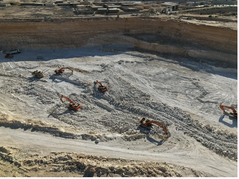
Site documentation is flown with a DJI Mavic 4 Pro. It is quiet, compact, fast to deploy inside an active site, and its camera system produces images good enough to use for both engineering review and marketing.
We are deliberate about what that does and does not cover:
- Yes: high-resolution progress stills, verticals and obliques, video walk-arounds, repeatable fixed-position photo sets, façade and roof visual inspection, photogrammetry for orthomosaics, 3D site models and approximate volumes, and marketing-grade stills and video of the development.
- Not offered today: LiDAR scanning, thermal inspection, multispectral capture, and survey-grade RTK/PPK deliverables with centimetre-level certified accuracy. Where a project needs certified survey control, we work alongside your licensed surveyor rather than replace them.
That honesty matters. Photogrammetry from a Mavic 4 Pro is excellent for visual measurement, planning, dispute evidence and stakeholder reporting. It is not a substitute for a signed topographic survey, and we will tell you when you need one.
Permits and site access
Every commercial flight in the UAE needs approval before it happens, and construction sites add their own layer. We handle:
- DCAA / GCAA approvals for the airspace over your plot, and MOD clearance.
- ATC coordination and NOTAMs where the site sits near an approach path — common across large parts of Dubai.
- Master-developer and community approvals.
- Third-party liability insurance.
For a recurring monthly programme, this is set up once and renewed on schedule, so nobody on your team has to think about it again.
What it costs and how it is scheduled
Progress monitoring is priced as a retainer rather than per shoot — typically monthly, sometimes fortnightly during peak structure, and weekly for short critical phases. A retainer keeps the same pilot, the same aircraft and the same capture plan on your project, which is what makes the dataset comparable.
Use the estimate builder to get an indicative figure, or send us the plot boundary and the programme and we will propose a capture plan.
Who is behind this
Alaaeldin Elsherbiny — Aladdin FPV — is an aerial director of photography and drone pilot based in Dubai and the founder of Open Gate Films. Alongside cinematic aerial and FPV work, we run scheduled drone documentation for construction sites and developments across the UAE, delivered to clients through our own Developer Portal, and we handle the full approval chain with DCAA, GCAA, the Ministry of Defense, DFTC and ATC.
Documenting a development in the UAE?
Send us the plot, the programme and how often you need updates. We will come back with a capture plan and a monthly figure.
Start a monitoring programme